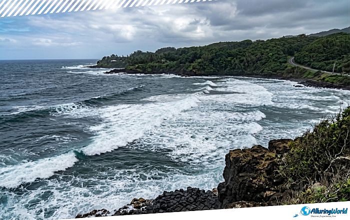
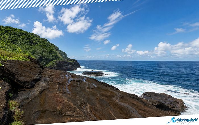
The Leʻala Shoreline, frequently referred to as Leʻala Scenic Point or the Leʻala Ridge, is one of the most dramatically sculpted coastal environments located in the southwestern part of Tutuila Island, which serves as the main island of the self-governing, unincorporated, and unorganized territory of the United States located in the South Pacific Ocean, American Samoa. Situated along the island’s rugged southwestern perimeter, this breathtaking landmark showcases the unbridled force of ancient shield-volcano eruptions, which have been combined with millions of years of Pacific Ocean erosion and created a landscape so beautiful that it deserves to be seen in person.
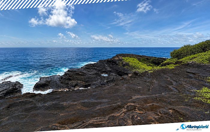
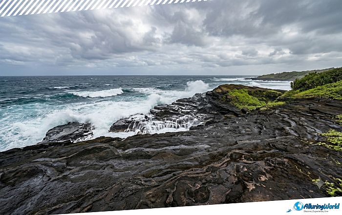
Designated as the Leʻala Shoreline National Natural Landmark by the US National Park Service in 1972, this protected stretch of land gives a rare opportunity to view exposed volcanic layers, thick tropical ridge forests, and vibrant life in the South Pacific oceans. If you are a nature lover, an avid photographer, or a geologist, then the Leʻala Shoreline is a place that cannot be missed! The landscape of the Leʻala Shoreline directly reflects the unvarnished history of Tutuila Island’s volcanic origins. A number of shield volcanoes emerged from the floor of the Pacific Ocean millions of years ago to deposit huge layers of basaltic lava on the surface. Over the years, the outer rock layers of the lava flows were eroded by the continuous waves in the ocean, thus leaving a unique geologic shape that is very wonderful nowadays.
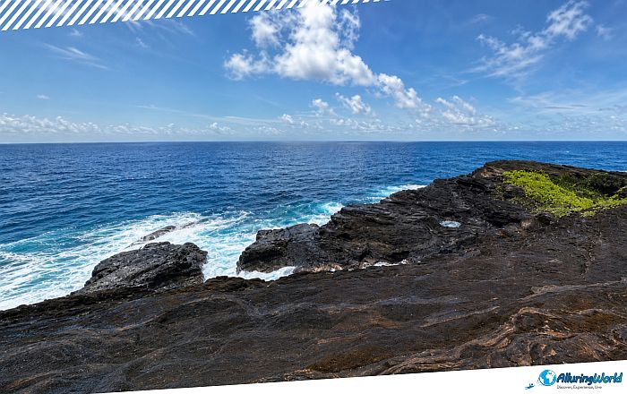
At the bottom of the cliff, columns of dark basalt arranged geometrically are reminders of the large amounts of lava that slowly cooled down and shrank. The vertical cliffs are acting as a natural cross-section and showing different layers of dense lava flows, porous ash beds, and volcanic tuffs. Even though this happened throughout the millions of years of erosion, you need to be aware that the marine erosion is still at work creating and it still creates narrow surge channels on the shore rock. As waves hit these channels, water jets shoot out from them, creating coastal blowholes and powerful surge pools. The contrast of this landscape with dark volcanic formations on the one hand and emerald green tropical vegetation covering the ridge slopes above on the other makes this panorama one of the most spectacular in the South Pacific region.
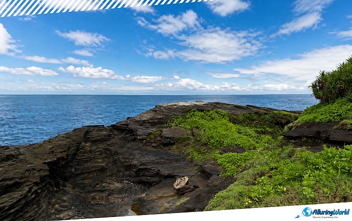
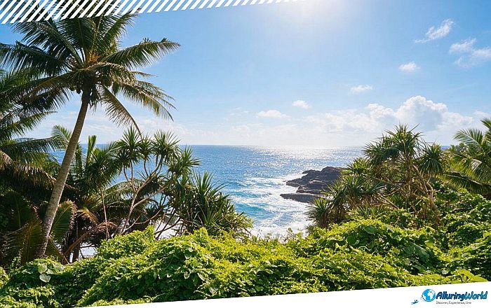
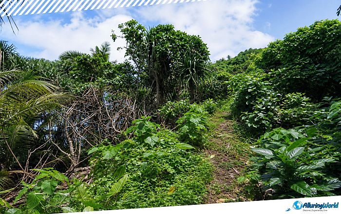
Moving inland from the ocean, there is an immediate change in the environment from the exposed cliffs on the coast to a multi-tiered tropical rainforest environment, which is quite common in this part of the world. With the impact of waves from the Pacific Ocean onto the basalt cliffs, you can notice the nesting grounds for seabirds, and eventually, once your view passes the rocks, you will see the rainforest interior. Plant life growing on the edge of the cliffs is adapted to withstand constant salt spray and harsh tropical sunshine. The ironwood trees (Casuarina equisetifolia) hold the thin coastal soil near the edges of the cliffs, whereas screwpine trees (Pandanus), distinguished by their high prop roots, flourish on the windswept headlands. Ferns and succulents in the coastal areas attach themselves to small cracks in the rocks, where they collect water from sea spray and dew.
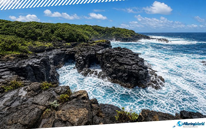
The vertical and isolated cliff walls of Leʻala offer a haven to the native bird species of the South Pacific region without being threatened by the presence of any predators on land. The red-footed boobies, brown noddies, and white terns (Gygis alba) regularly use the updrafts of the coastline and dive into the waters for their food. These nutrient-filled coastal waters have powerful currents and are directly connected to the larger system of protection provided by the National Marine Sanctuary of American Samoa. If you are an adventure seeker, then there is the southwestern part of Tutuila Island, which is perfect if you would like to have excellent coastal hiking experiences. The main trail in this region, the Le‘ala Shoreline Trail, connects coastal village roads to stunning cliff viewpoints and nearby sanctuary bays, and it is guaranteed that you will be left breathless at every corner.
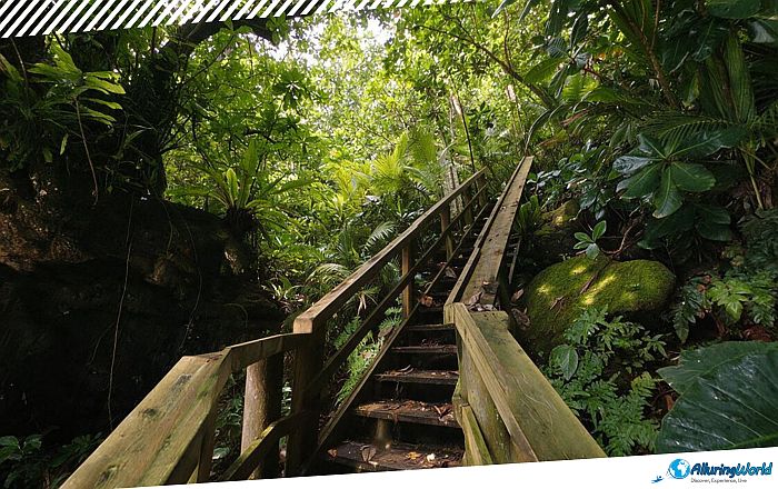
Located near the villages of Vailoatai and Taputimu, the trail stretches approximately 5.1 km (3.2 mi) round-trip with an elevation change of about 137 meters (450 feet). The hike might not be something that can be recommended for everyone, considering that it is rated as a moderate one due to the uneven terrain, exposed tree roots, and high humidity, but the reward for trekkers would be the great panoramic ocean views, volcanic cliff overlooks, and abundant seabird watching.
ADVERTISEMENT
Safety will be a key element that you should consider during this journey due to the ruggedness of the terrain, so if you are visiting this jewel in the Pacific, please consider the following:
- Cliff Hazards: There are no artificial barriers around the sea cliffs, meaning that you must keep a distance from the edge, as rogue waves and gusting winds are possible.
- Trail Conditions: The tropical rains can easily turn the dirt trails muddy, making the volcanic rock surfaces slippery, as well as high humidity requiring you to carry at least 2 liters (0.5 gallons) of water per individual. Additionally, be aware that the trail can have a thick vegetation in some spots, and in some parts, it will take effort for you to go through it.
On the whole, a visit to Leʻala Shoreline would provide ample knowledge about Samoan culture and traditions. American Samoa landownership follows an open system that revolves around village traditions called Faʻasamoa, or as the English translation would be: the Samoan Way. Just east of the Leʻala Shoreline lies the coastal village of Vaitogi, a community famous throughout the archipelago as the home of the legendary Turtle and Shark story (Fonuea). According to local tradition, an impoverished old woman and her granddaughter surrendered themselves to the ocean during a severe famine and were transformed into a sea turtle and a shark. Local villagers still perform traditional chants along the Vaitogi cliffs today, which are said to summon these revered ocean creatures to the water’s surface.
As you are planning your island tour, remember a number of geographic features that are present on the main island. While the Leʻala Shoreline and Ridge form part of the southwestern coastline of American Samoa in the vicinity of Fagatele Bay, which is a sunken volcanic caldera with some of the best marine ecosystems in the world, there are many other well-known sites on the island that are situated elsewhere. For instance, the well-known sea stack called the Flowerpot Rock (Fatu Rock) is situated to the east of Leʻala at Fatu-ma-futi. So, please plan a whole road trip exploring so that you will see most of Tutuila.
When visiting Leʻala Shoreline, you should consider the seasonal variations and transportation. The weather in American Samoa is tropical all year round; however, the best period for exploring the coastline is the dry season from May to October. In this period, the average daytime temperature is 28°C (82°F), and there is little rainfall and humidity, making walking comfortable. You can go to the trailhead by renting a car, as this is the most convenient way, and you will be driving west from Pago Pago or the Pago Pago International Airport along Route 1, before turning south toward the villages of Vailoatai and Taputimu, where directional signage leads to coastal access points. Alternatively, if you are seeking an authentic local experience, then you can take a colorful Aiga family bus heading toward the southwestern village routes from the central depot in Pago Pago, and this option will give you a more immersive way of exploring the main island.
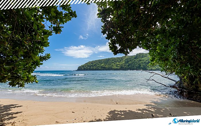
Nevertheless, while visiting the region, observing the customs will guarantee a good experience among the local communities, so that you can consider the following:
- Land Access: Since the trails run through or adjacent to the lands of villages, you are advised to request permission or payment for custom usage fees where necessary from the local community.
- Sunday Etiquette: Sundays are strictly dedicated to church, family, and quiet rest (Sa), meaning visitors should avoid heavy recreational activities or loud noise near residential village areas. Please be respectful of the local communities that live in this paradise.
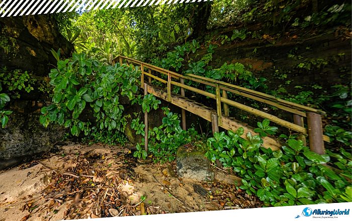
In summary, the Leʻala Shoreline embodies the spirit of American Samoa, with its combination of unadulterated geological past, vibrant coastal biodiversity, and enduring cultural legacy. Being situated at the height of the ridge where old basalt cliffs encounter the crashing waves of the Pacific Ocean offers a real-life opportunity to connect with the volcanic birth of the island. With the necessary preparations made for the weather, the village culture observed, and safety on the cliff faces ensured, it is 100% certain that you will enjoy visiting the Leʻala Shoreline and will be inspired to share this experience with other people who consider visiting the small islands of American Samoa.